Meet the TerraTracker.
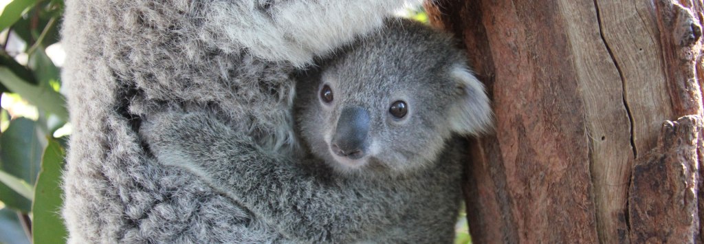
An autonomous terrain-sensing rover built to locate, count, and monitor koalas in mountainous terrain.

Minimal human effort for maximum results.
All the user needs to do is place it on the trail and review the collected data, because the TerraTracker can do everything else.

Navigation
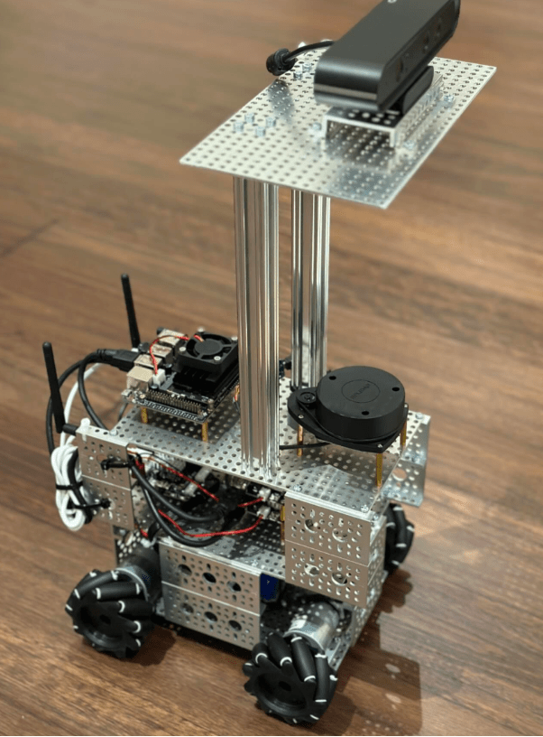
The TerraTracker navigates rough terrain autonomously using advanced LiDar mapping technology, a heavy duty drivebase and a 360 degree high-resolution depth camera.

Scanning Surroundings
The TerraTracker scans trees and canopy with the camera, additionally integrated with thermal imaging.

AI Detection
Jetson-Nano AI intelligence detects koalas and automatically processes accurate koala count, sighting time and GPS location data onboard to upload to councils and governments.
Cutting-edge technology in four key components.
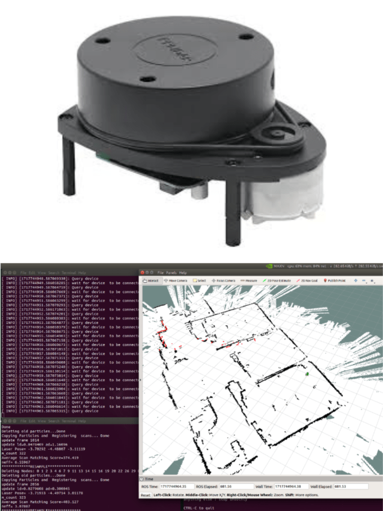
LiDAR Sensor
360° sensor measures distances and angles to create a detailed 2D map of the surroundings, essential for autonomous, accurate navigation and obstacle avoidance.
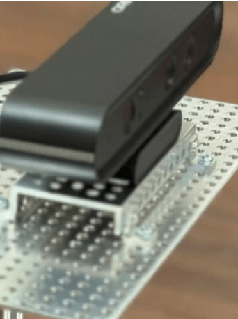
Depth Camera
Partnered with the LiDAR sensor to reliably monitor surroundings in 3D. The wide 360° field of vision and high-resolution quality allows for efficient, accurate koala spotting that outperforms manual, human spotting.
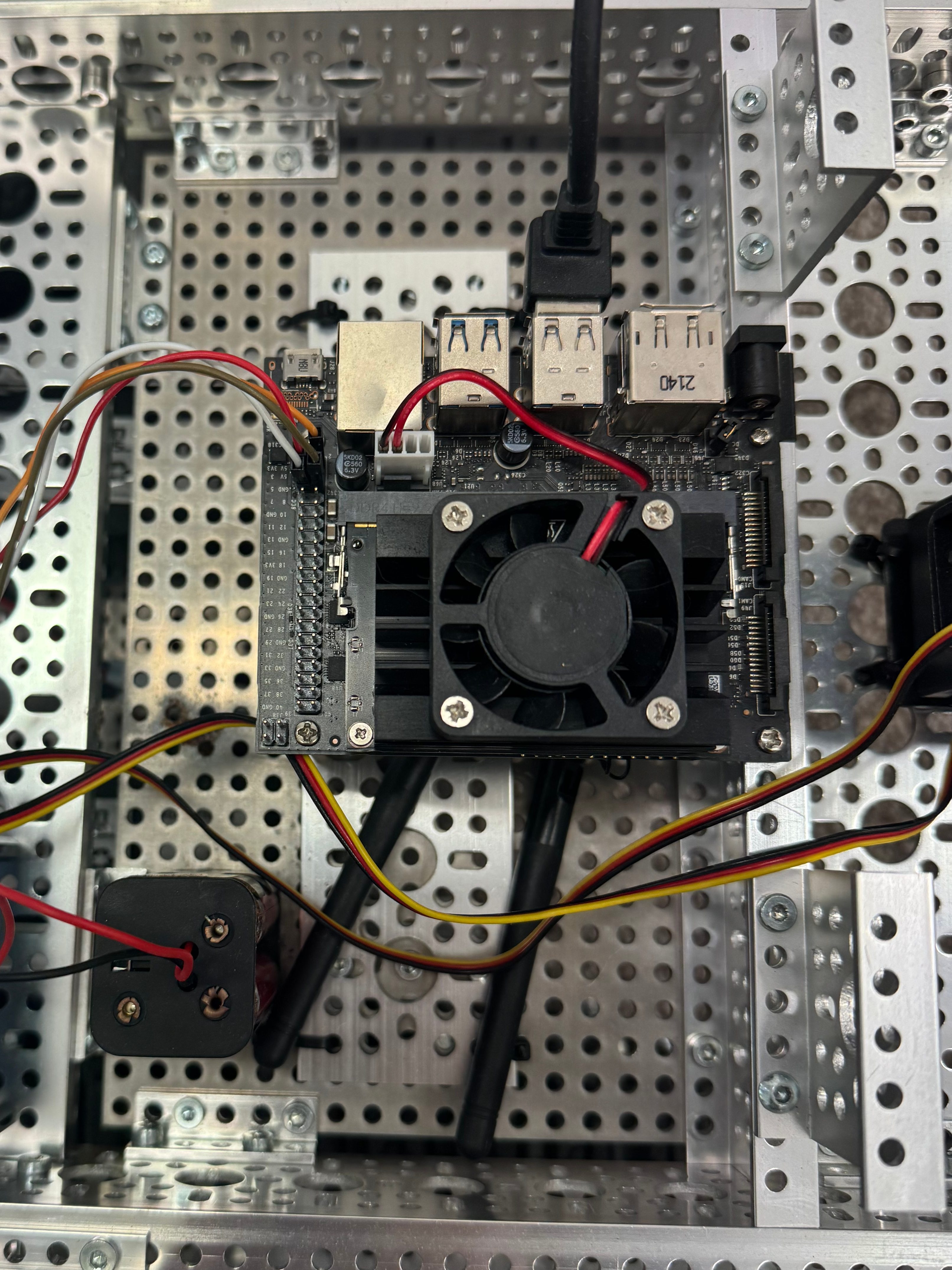
Jetson Nano
Mini AI supercomputer enabling instant data processing and uploading, real-time decision-making and autonomous navigation. It utilises advanced machine learning and is trained off real koala images to continuously improve.
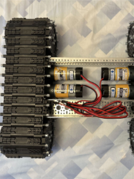
Drivebase
Heavy-duty, continuous track design specialised for the rough terrain of koala habitats to provide stability and mobility. Detachable from the robot to maximise adaptability.
